By Reporter Kayla lee
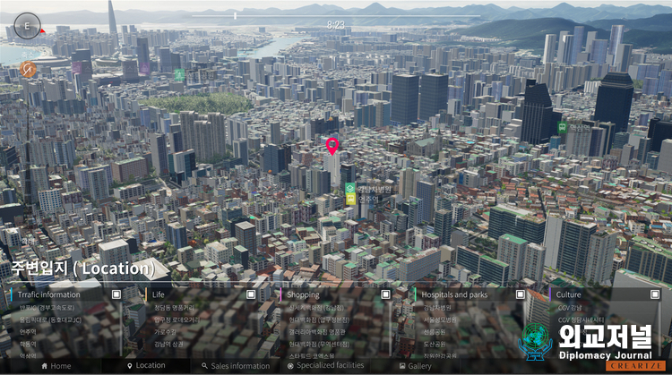
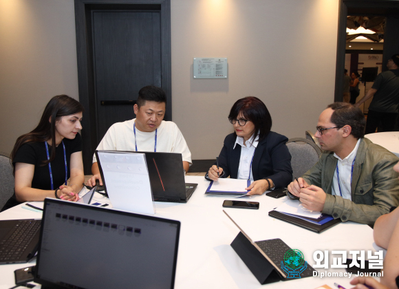
Diplomacy Journal met with CEO Choi Seung-yeop of Techtree Innovation Co., Ltd., a company that leads the spatial information industry visualization by possessing the best high-precision and high-resolution 3D data construction technology, and heard about his future vision.
Techtree Innovation is a specialized company that pioneers 100% visualized spatial information construction through its proprietary graphic creation technology, which includes satellite mapping, GIS data, and 3D scanning using Photogrammetry Software Mapping.
CEO Choi said, “We achieve customer satisfaction by acquiring new technologies and developing innovative content to produce results that embody both reality and quality.”
Techtree Innovation succeeded in high-precision, high-resolution 3D mapping based on photogrammetry software mapping (PSM) with hyper-realistic graphics, Easy UX&UI, and independent use of GIS data. It established a geographic-based technology and service system that provides various visual information, such as buildings and terrains, as they appear in reality, through the implementation of real map-based location information technology and platform.
The high-precision, high-resolution 3D maps by Techtree Innovation offer hyper-realism and the highest level of LOD (Level Of Detail), making them perfect for applications in various fields, including digital twinning, smart cities, metaverses, UAM (Urban Air Mobility), autonomous driving, military training/education, disaster/emergency management, urban planning, review, architecture, design, virtual tours, and simulations.
When asked, “Furthermore, what is simulation automation?” CEO Choi said, “In a 3D environment, custom simulations are possible. For instance, vehicles, crowds, and various phenomena automatically recognize and respond to environmental information through the Environment Query System (EQS).”
“After AI perceives the environment, the results of the processes and behaviors in the Behavior Tree are instantly visible.”
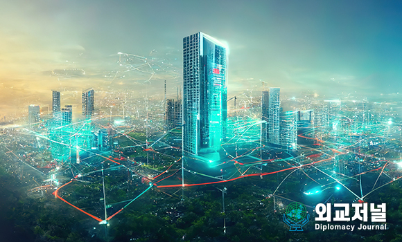
The embodiment of the same rule as reality
The 3D graphics world built on an engine that supports hyper-realism operates with various physical calculations such as collisions and reflections of light and objects, mass and gravity, and friction and resistance of the ground.
The results of these calculations are presented in real-time 3D graphics, making them easy to verify.
“As we face various changes in everyday life during the recent era of Digital Transformation, with new technologies and services being launched daily, Techtree Innovation focuses on developing visualization platforms that turn imagination into reality to keep up with this digital transformation era,” said CEO Choi.
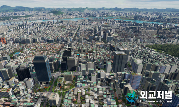
“Furthermore, Techtree Innovation is a domestic company equipped with proprietary graphic creation technology and know-how based on hyper-realism. We have been implementing spatial information visualization using the PSM (Photogrammetry Software Mapping) method and providing services based on real maps.”
According to CEO Choi, the completed high-precision, high-resolution 3D maps can be extensively utilized in various fields, such as digital twinning, smart cities, metaverses, UAM, autonomous driving, military training and education, disaster and emergency management, and urban planning.
Techtree Innovation presents its PSM-based visual data technology, which offers high resolution at 1 to 5 cm precision, unlike low-resolution lidar scanning. It allows distortion-free representation of buildings, elevation, terrain, and roads.
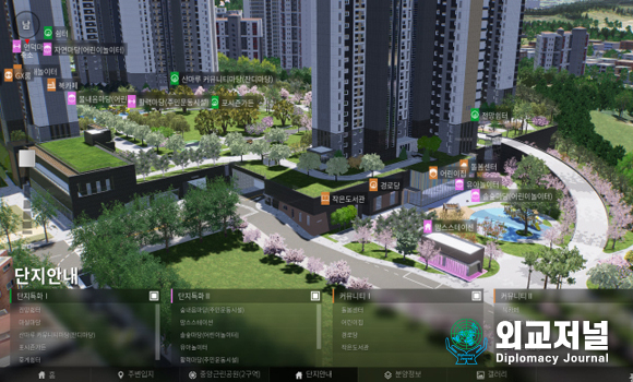
Additionally, customizations and simulations are possible based on the implemented visual information data, and it can be implemented cross-platform, supporting various consoles, PC, and web browsers. Particularly, introducing this technology enables companies to conduct partial updates, such as single-building units, resulting in effective cost savings in terms of data maintenance and management.
CEO Choi said, “Currently, our goal is to 3Dify the entire territory of South Korea. We aim to expand their coverage beyond the current state and scan the entire territory to create a perfect map. We wish for our accurate data to be used in various industries.”
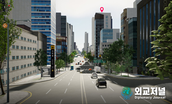
Techtree Innovation Co., Ltd. aspires to be a creative company that continues to challenge and expand its business. It believes that the field of mapping has endless potential as it is needed in various places.
CEO Choi added, “We are committed to continuous technological development and growth through collaboration with foreign countries, contributing to the future development of industries in the nation.”
